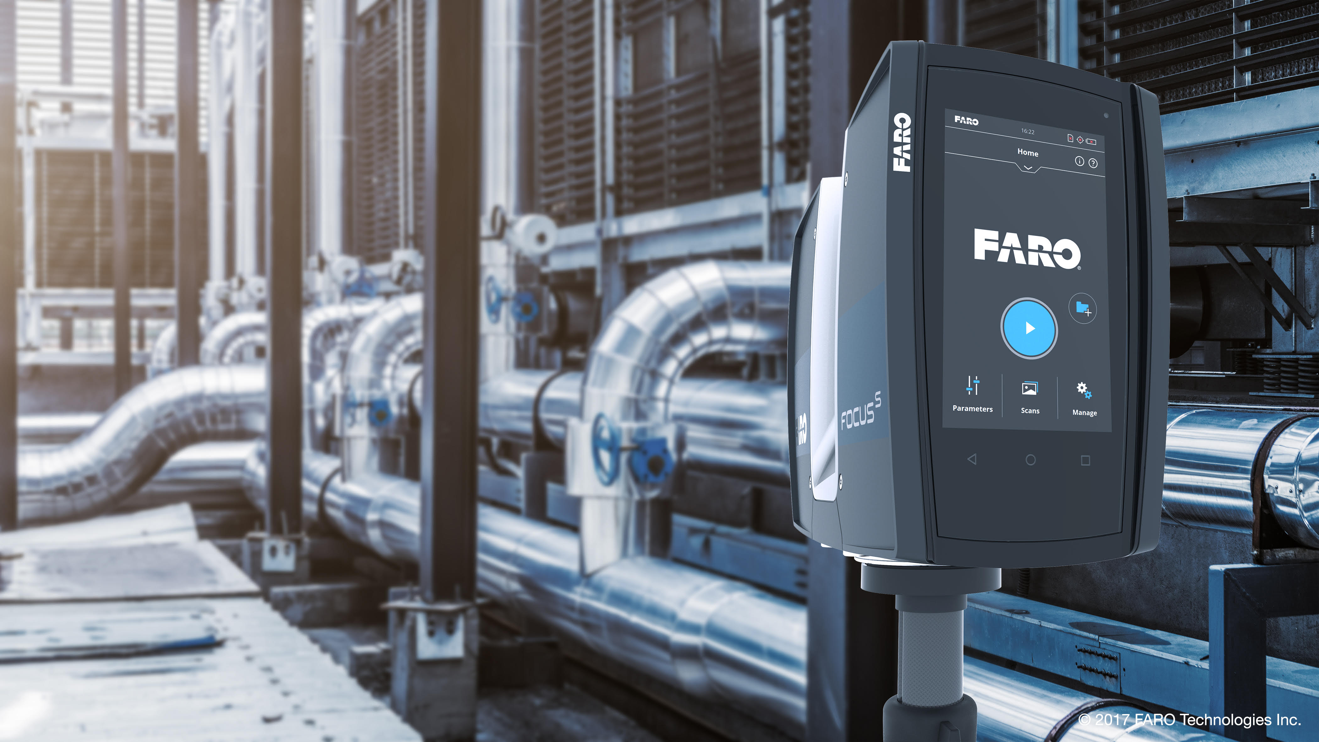
3D laser scanning allows contractors to collect the as-is conditions on a project site quickly to provide both accurate and up-to-date data that is valuable throughout the different design and construction stages. It is a technology that digitally captures the shape of physical objects using a line of laser light. 3D laser scanners create ‘point clouds’ of data from the surface of an object in order to capture its exact shape and size. What this means in the world of 3D coordination is a mm perfect site survey without the possibility of human error in our surveys. Structural elements, architecture & existing services can be effectively captured and represented in the 3D environment using readily available software such as Autodesk Recap. This is particularly useful on refurbishment projects where as built information is not accurate or readily available. It can be used to verify as-built models, monitor progress on a project, create as-built models or to augment missing design data. Many projects now require a contractor to deliver a point cloud as a final project deliverable to document the location of new construction for the building owner.
We can provide this as part of our coordination service or as a stand alone service for your own use and could even be incorporated with our Scan to BIM service.